Urban Water
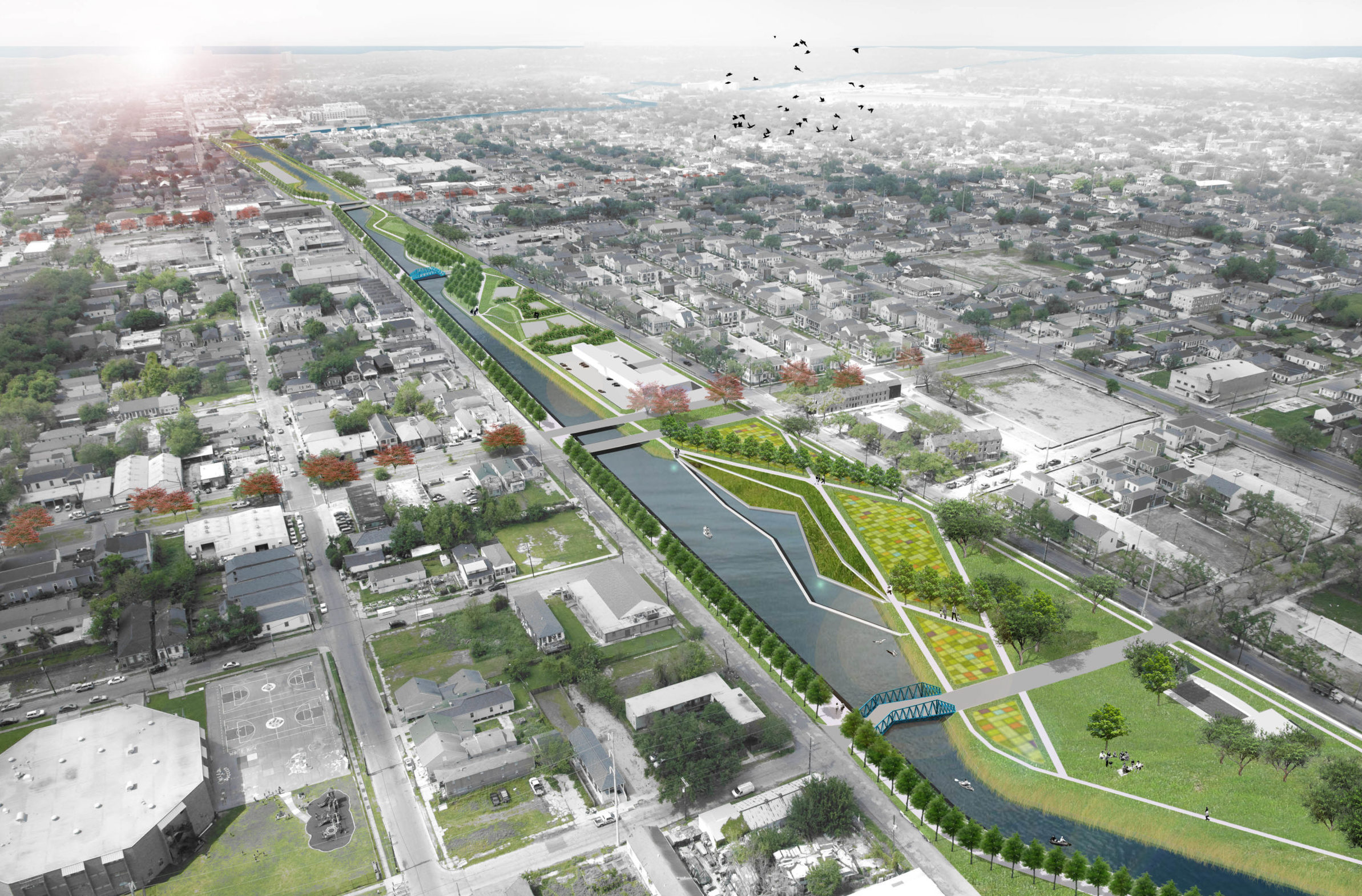
In 2010, the State of Louisiana’s Office of Community Development – Disaster Recovery Unit funded Greater New Orleans, Inc. (GNO, Inc.) to develop the Greater New Orleans Urban Water Plan for the east banks of Orleans and Jefferson Parishes and St. Bernard Parish using federal Community Development Block Grant – Disaster Recovery funds from the Department of Housing and Urban Development. New Orleans firm Waggonner and Ball led a team of local and international water management experts in developing the Urban Water Plan.
Background
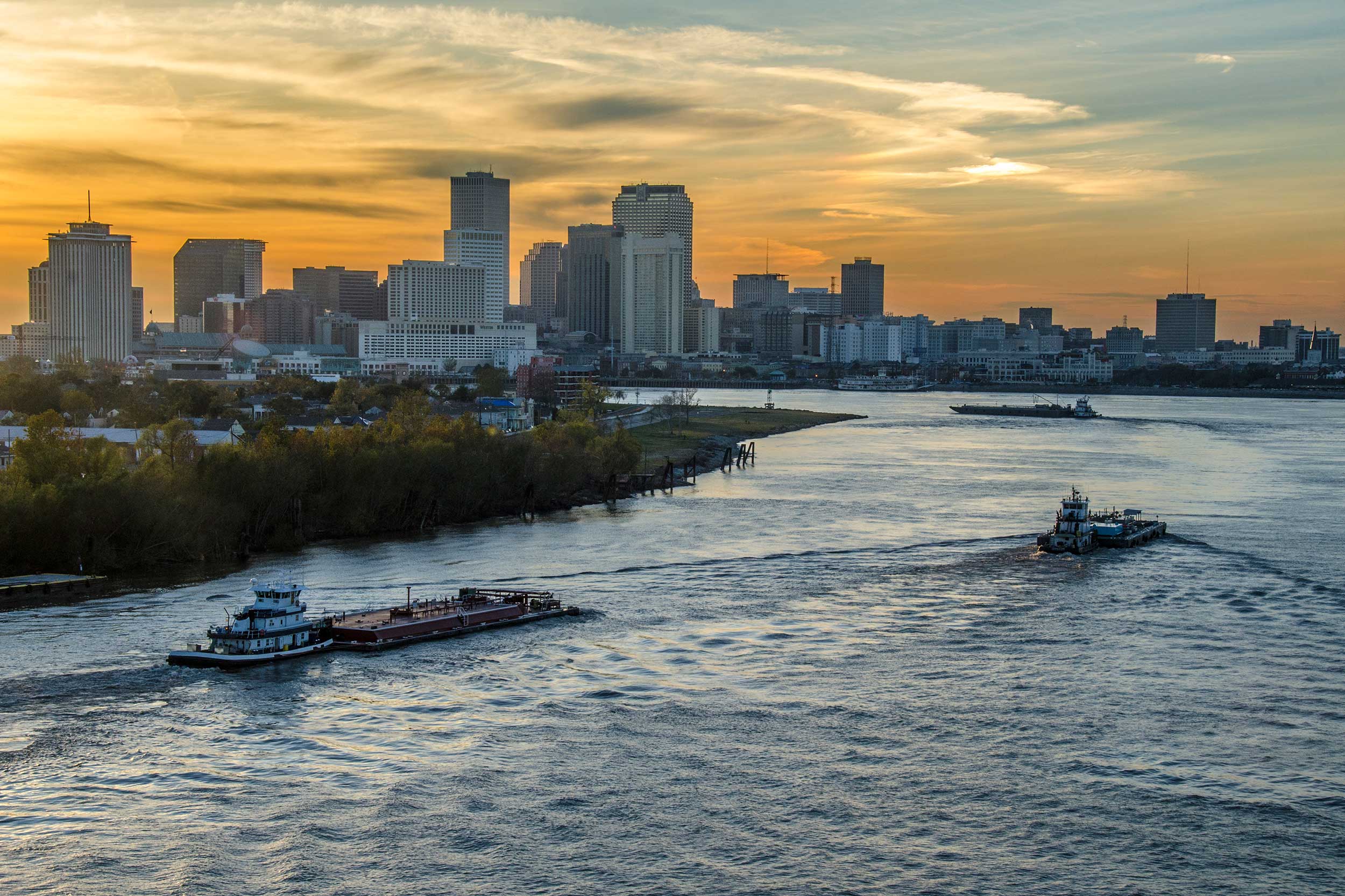
Greater New Orleans has a three hundred year history of adaptation. Located at the confluence of the Mississippi and the Gulf of Mexico, Greater New Orleans has always been the “Gateway to the Americas.” Constant flows of people and commerce have shaped the region’s remarkable cultures. The urban design, infrastructure, buildings, governance, food, and music of the region all speak to this proud history.
Greater New Orleans possesses a 100-year hurricane protection system—the envy of other coastal cities. But with more than sixty inches of rain each year and growing risk posed by climate change, last century’s overmatched drainage infrastructure is inadequate to present and future challenges. The consequences of the current approach to water management, which removes stormwater as fast as possible, are visible in sinking land and broken infrastructure.
With the Urban Water Plan, Greater New Orleans can directly address these challenges and make better use of its water assets, while bringing innovations in engineering, planning, and design to other coastal regions where robust water infrastructure is critical to survival and economic prosperity.
The Process
The Urban Water Plan was built on planning work and strong partnerships beginning in 2005. In 2006, Waggonner and Ball worked with H3 Studio as leaders on St. Bernard Parish Planning Framework for the Citizens Recovery Committee and in the Unified New Orleans Plan process. In 2006, Waggonner and Ball also initiated the Dutch Dialogues workshops, which brought together designers, planners, engineers, and policy-makers from the Netherlands and Louisiana to learn from each other and to place water issues at the forefront of planning and design for the Greater New Orleans region.
With the support of GNO, Inc., the project began in 2011 with Waggonner and Ball coordinating all phases of the work. This effort included meetings with systems operators and an advisory council of key stakeholders, design and planning workshops, technical workshops on specific topics such as financing, geomorphology and subsidence, and outreach efforts that included presentations to community leaders and the public.
The Problem
Greater New Orleans relies on forced drainage systems to keep dry. This single-purpose approach to stormwater is resource-intensive, yet streets still flood regularly. This approach is also the primary cause of subsidence in the region, and diminishes the value of the area’s waterways and water bodies as public assets.
For a region built on swampland between river and lake, water is remarkably hard to find. Except for Bayou St. John and the beloved lakes and lagoons of Lafreniere Park, Audubon Park, City Park, Joe Brown Park, and Sidney Torres Park, most of the region’s canals and other waterways provide little value as spaces for public life. The water infrastructure that exists today is in many places unsightly and dangerous. Cheaply constructed outfall pipes poke out from canal banks, ditches are often dry or smothered with weeds, water stagnates, and trash-strewn channels block access between neighborhoods.
These conditions help lead to flooding, or the presence of unmanaged water in streets and properties. With heavy regional rains, the catch basins, pipes, and pumps of existing drainage systems are often overwhelmed. The drainage systems have the capacity to drain 1 inch of rain during the first hour of a storm, and 1/2 inch per hour after that. Catastrophic flooding occurs when floodwalls are breached by surges from outside the hurricane protection system, but flooding from rainfall is much more common. Flooding leads to extensive damage to streets, homes, and businesses throughout Greater New Orleans, as well as millions of dollars in flood insurance claims and high insurance rates.
Another area of impact on the region is felt through subsidence, or the sinking of the ground. It damages buildings, streets, and other infrastructure and makes the challenge of pumping stormwater out of the region more difficult. Subsidence is a result of dry soils, largely caused by current drainage practices that pump out every drop that falls as quickly as possible.
Existing single-purpose drainage systems are the primary cause of subsidence in the region. The current drainage regime has developed into a destructive cycle in which pumping and low water levels cause the land to sink, which then necessitates increased pumping capacity in order to keep dry, which then leads to further subsidence. Subsidence will cost the region an estimated $2.2 billion in damages to structures over the next 50 years.
Reports
The Greater New Orleans Urban Water Plan is a set of reports with cross-referenced information as outlined below:
- The Vision Report presents an overview of the Urban Water Plan.
- The Urban Design Report is geared towards planning and design professionals. This report tests water planning principles through design drawings at the system, basin, district, and demonstration project scales.
- The Implementation Report is geared towards policy-makers, water system managers, and other stakeholders interested in effecting change. The report presents the value and economic impact of the Water Plan and outlines an action plan for implementation that includes prioritization and phasing of proposed strategies, financing tools, policy and community action recommendations, existing jurisdictions, and potential partners.
